Zion Canyoneering Summercamp:

Another year, another Zion Summercamp. Time for a return to Mystery Canyon. Always one of my favorites, I have not done Mystery for a couple of years due to the hassles of getting a permit. Rumors were that the Death Gully approach had become horrendous...

Here's Larry Halford from Washington State, visiting the redrock canyons, starting down into Mystery. (Zion)
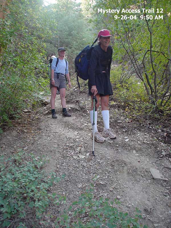
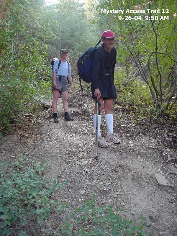
Not having been down in a while, I expected a mess. NOT! Actually, it looks really good. With my “new eyes,” it looks to me like a modest amount of work could change this into a reasonable trail.
As part of my Zion Canyoneering Coalition advocacy, I took a series of pictures to 'capture' the descent gully in pixels. This one section of trail has been the object of much derision. My (not unbiased) opinion is that with a little bit of effort, a fine, stabilized, and natural-looking trail could easily be built down this route. Hopefully we can convince the Park that "active management" is a better management tactic than severely limiting access, which is what we have now.
Those interested may download a 20-picture set of the Mystery Access Trail (2 MB zip file) .
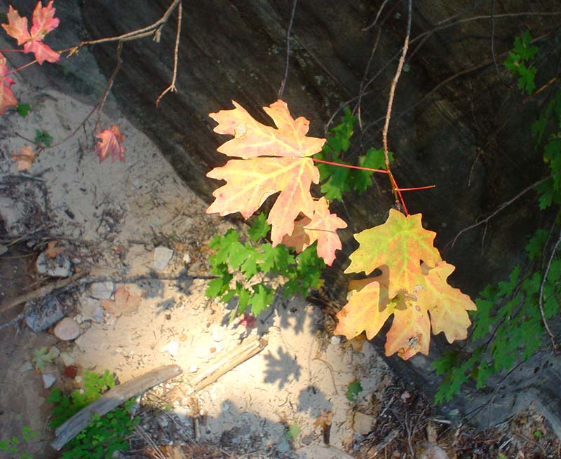
Mystery is always pretty. Here's an art shot for ya. (Zion)

Here’s most of our group, setting up a rap after the dogleg. That’d be Larry Halford, Barb Grover, Roylnn Serati and Judy Seybold threading the rope through those bolts, rather than using that tiny, meaningless log.

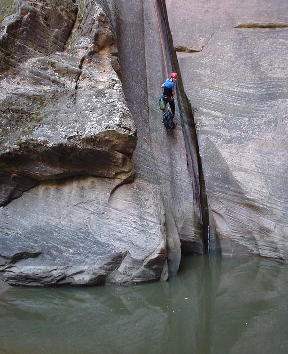
Barb Grover rappin’ the slabby one at the end of the Narrows.

Barb again, at the rap which is usually 'stinkin' hot'.
Most of my memories of Mystery Canyon are from August, when the sun is much higher and hotter. Mystery is so pleasant in late September - even this rap was shaded.

The inimitable Hello Pitney joined us for the day.
Very surprisingly, the huge logs at the bottom of this rap were gone. Mysteriously disappeared!
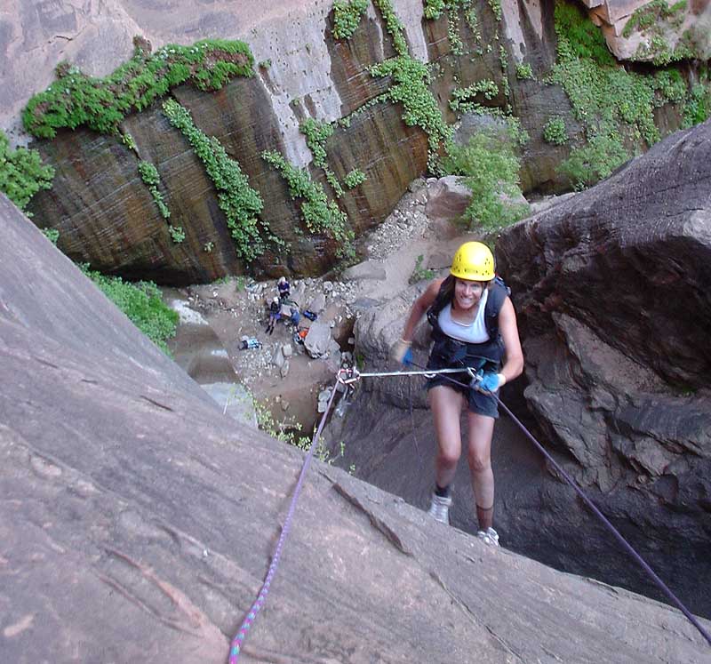
‘Cause we were cold, we set up a guided rappel on the Mystery Springs rappel. Using a 6mm pull cord for the guide line decreased its effectiveness somewhat, but we were able to keep most everyone out of the water. Thanks Larry, for ‘volunteering’ to go first.
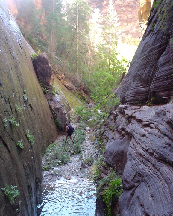
Looking downcanyon in the jungle section. Again, the huge Ponderosa log that used to make this an interesting down-log-climb vanished!
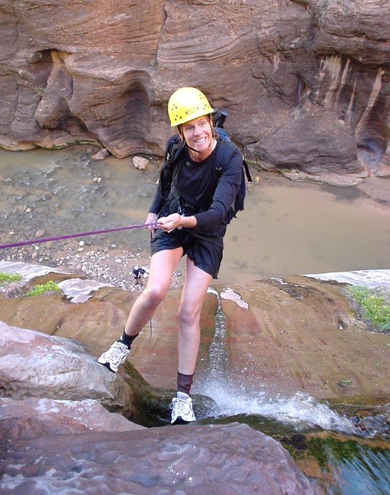
Judy rapping into the Narrows.
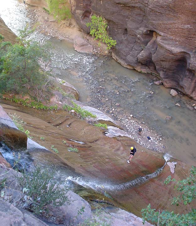
Rapping into the Narrows, mysteriously devoid of tourists.
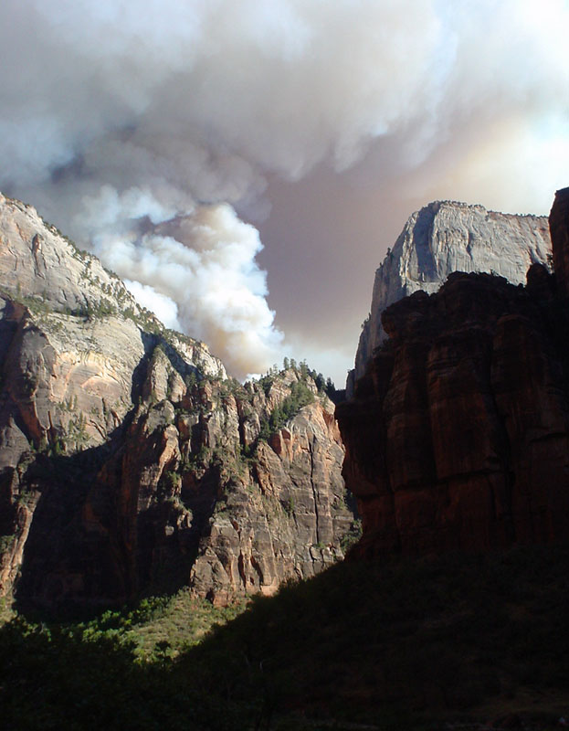
Just as we were walking out, the east side controlled burn hit a huge stash of dry wood on the mesa behind the Great White Throne.

Next on the agenda was the fabulous Eye of the Needle.
Looking for a road, I walked the trail past the drop in point, hoping to find better access than through the camp. No deal. It led out to a viewpoint, giving this view down into the canyon.

I musta been busy, cause I didn't take many pictures. Here's near the top of the big rappel.
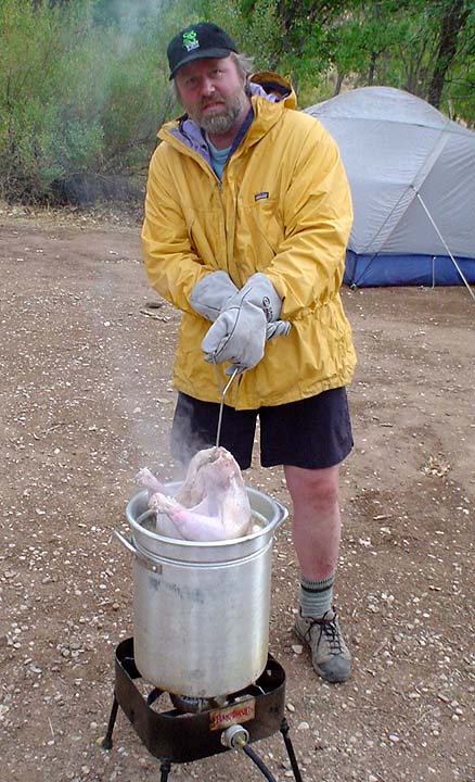
Back in camp the next day. Though a rest day was planned, the rains descended and enforced it with vigor.
Rob brought down his deep-fry system, and deep-fried us up a turkey. We made some fixins and invited guests. Ray O'Neil from ZNP Backcountry was the only guest who braved the inclement weather to join us for din-din (thanks Ray) and a little, informal discussion of issues.
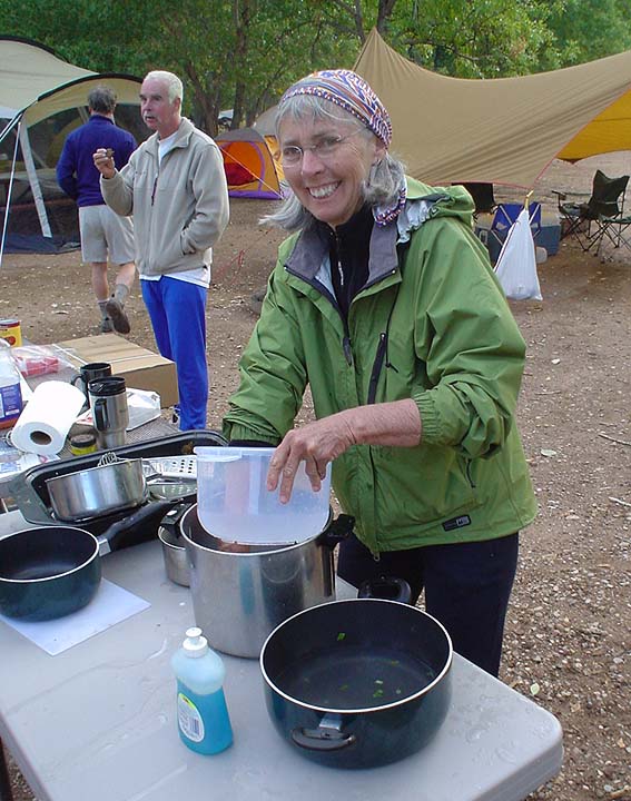
A break in the rain, Patti does dishes, Pitney snacks, John Hart turns away.
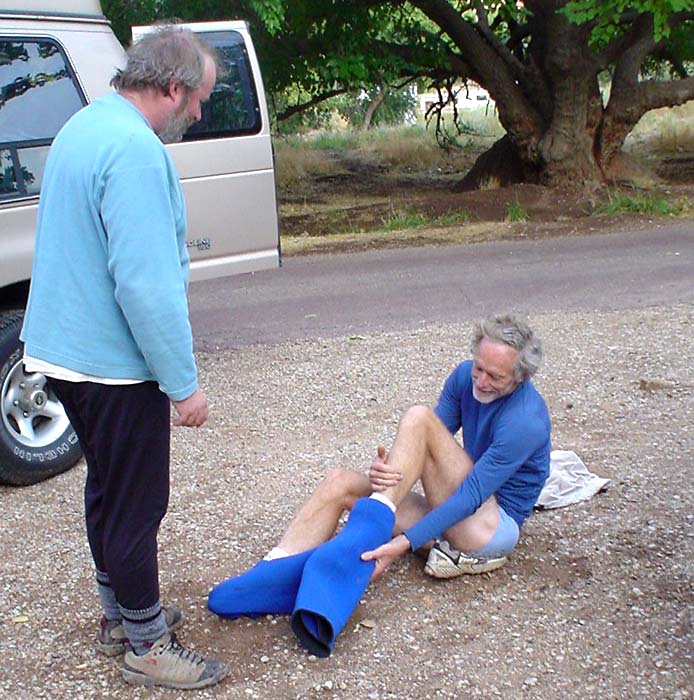
Ron shopping for a new wetsuit. Steve S had these for sale, but they are hard to get on and off.

As usual, teamwork overcomes the obstacles...
Wednesday, and the weather report was looking bad. We went for a hike, up Gifford Canyon, out to a viewpoint of Parunuweap, then east to the next major canyon running north. Lots of nice slab climbing and a few 4th classish spots - and a bit of obnoxious brushwhacking.
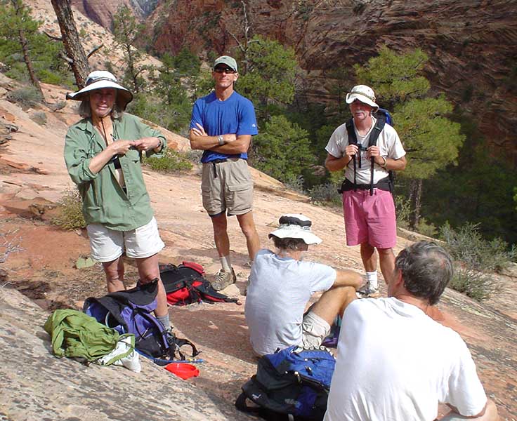
Here we are starting to climb out of Gifford Canyon. Yee-haw!

A bit of scratching to get up to the crest, but then a nice hike south to a highpoint and a view into Parunaweap. Time for lunch! Turkey sandwiches all around...
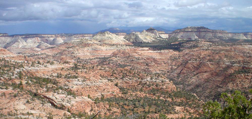
Here's our view north and east. Nice storm clouds, eh?
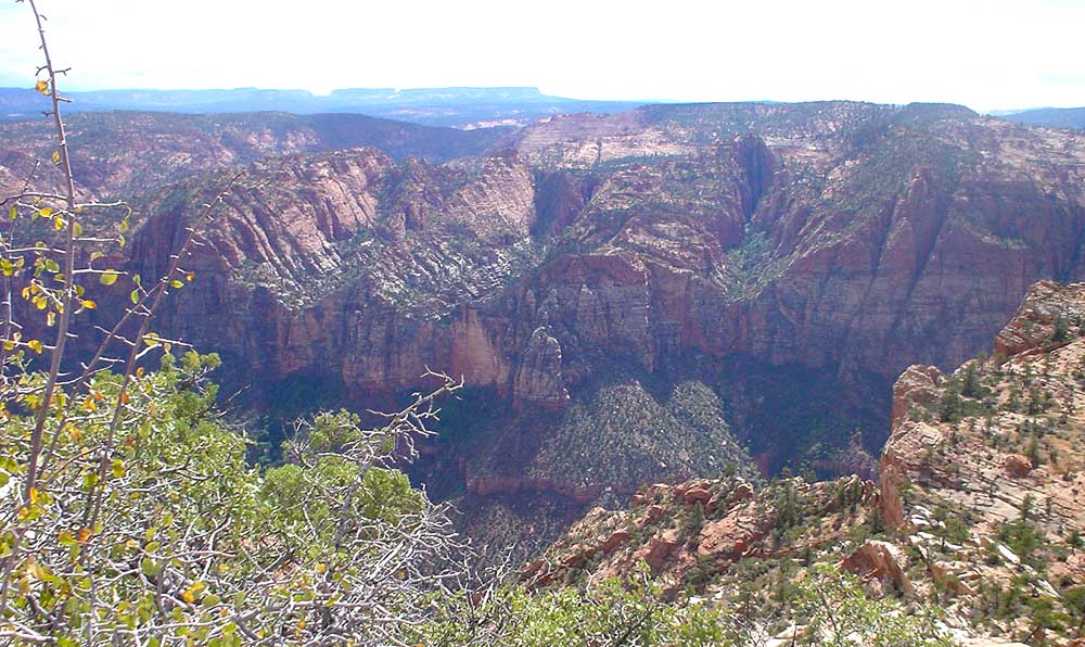
Looking south down into Parunaweap.

And the view to the west, toward the West Temple. Amazing how a little Photoshop work makes it look less gloomy.

Waiting for the bus… Which never came. Anyway, found a way back down to civilization, and reached the road just as the skies opened. Perfect timing. Back to camp for leftovers.

Thursday, another bad weather report. Skies looked pretty good, though. The two gazelles and I needed exercise, so after discussing options, we chose to check out Coalpits Wash, an area I had never really looked at.
Here the gazelles are checking out the narrows and waterfall in Coalpits. Not too exciting.
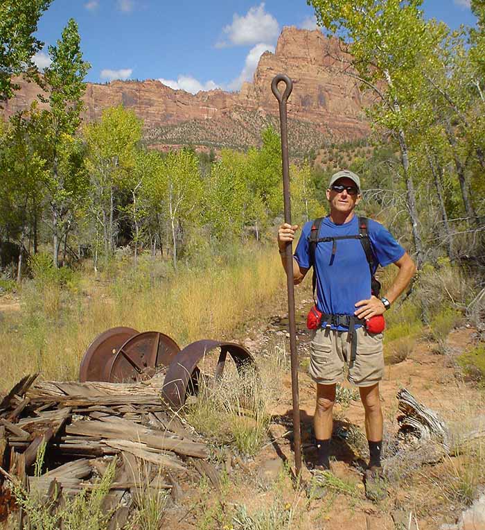
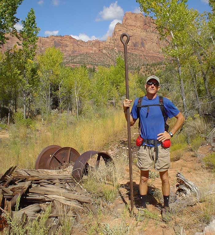
We hiked up to the Oil Well Ruins in Coalpits. Here's Larry holding up his end.

Ruined stuff lying about.

A little friend I found, who scurried under a rock rather quickly.

And a nice furry guy, Larry found on our hike out.
Okay, it was not too exciting. At least it rained a little bit. A bit longer of a hike than I expected. Rather devoid of fabulous features. Not a BIG candidate for including in the upcoming guidebook. But tomorrow, we get to do a real canyon. Hurrah!

Friday, Friday, Friday! Finally, onto a canyon. I wanted to do upper Telephone Canyon, a section Brian and I had maybe first-descended in September 2000 which I had not been back to since.
The day starts here, at the permit window of the Backcountry desk. We thought by arriving at 6:30 AM, we could be first in line, but no such luck. Couple-a folks camped out. Mmmmm, you know, that permit system really draws people together, forming a sense of community.
Soon we were on our way and shuttling up to the trailhead. Time to stretch the legs for the wonderful hike up to the rim...

Scout Lookout, with the Great White Throne in the background.

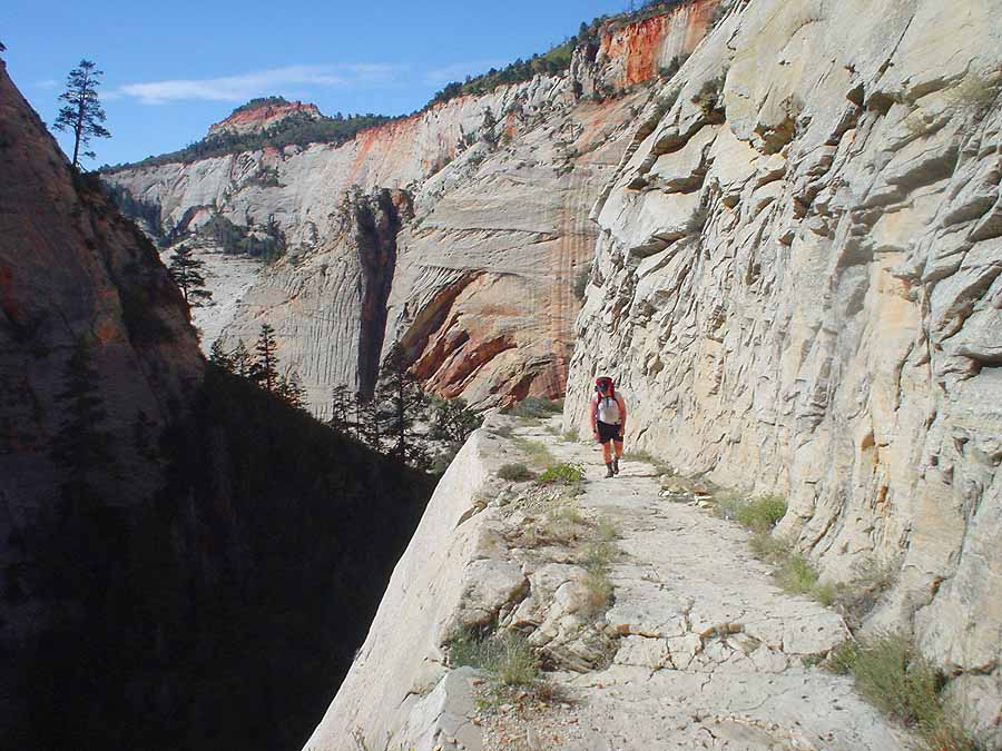
Rob was kind enough to bat cleanup with me. Here he enjoys the final bit of the West Rim Trail switchbacks, built in 1925 and wide enough for horses. Quite a project that. Telephone Canyon was named for the telephone line that was run down the canyon and over the rim to the Temple of Sinawava. Behunin canyon in the background.
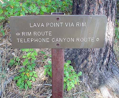
Sign at West Rim Spring. Not much of a spring.

A brief hike leads to the drop-in point of the canyon. We do the short drop down to the ledge, then we’re ready for the BIG DROP – over the edge and into the unknown. Here’s my buddy Pitney, enjoying the moment. Awfully skinny rope, now that we are here!

Brian and I had placed a pair of bolt anchors. I was interested to see how they were faring, and where people had added bolts over the last 4 years. There were two Petzl Longlifes for this anchor.

Don't know what that extra hole is for.

Lower in the canyon, after a couple-a rappels. A lot of the canyon is like this, diagonal downclimbing, interesting rock, some nice rock. Pretty. Rob Heineman to show scale.
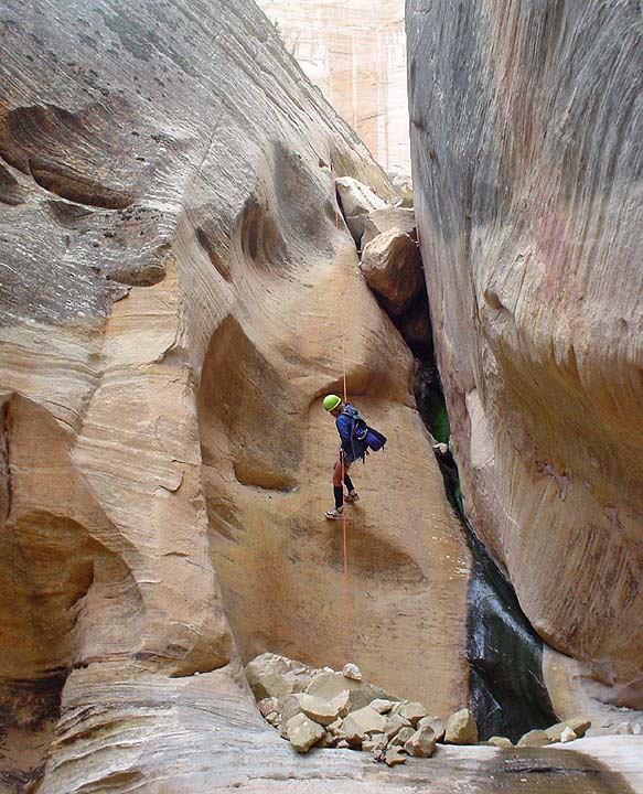
Ron on the last rappel. A recent landslide made this area unstable. Someone had added bolts to this rap, to avoid rapping off a tied-off boulder and get a clean pull. Probably a wise choice.

No one seemed all that interested in hiking back up and adding Behunin to the day, so we hopped on the bus and went home.
On the program for Saturday - Kip's Canyon.

Kip dropped by to do a canyon. In fact, to do HIS canyon. Kips seems to obsess on canyons. This wonderful canyon that he found and first descended last, he has now done about 10 times. C’mon Kip, time to find a new one.
I can't tell you where this one is, 'cause it is not public yet. So I talk in generalizations. Dawn finds us on the summit of a minor peak after an hour of bushwhacking. The former route, following various logging roads, was just too easy, so on this occasion, we bushwhacked instead.

Here’s Kip in his natural environment – heavy brush! Whatever gene Ram has for finding the best route, it is clear Kip does not have a copy of. We’re pitching in to get him a machete for Christmas….

Gearing up at the top of the first drop. Time for some breakfast, too.
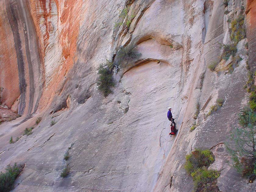
Larry on the first rappel. Good stuff.

Lower down, Ron really happy to be rapping down in a dark slot.

It was not the warmest of days, and with all the recent rain, the canyon was obviously tip-top full. But there is not a LOT of swimming. In this picture, Larry contemplates the cold, but brief, swim that is in his future.

And in no time at-all, we're to the final, 240 foot rappel. Down, down, down an interesting flute..
Kip, contemplating the big swim at the end. Usually the rappel is about 10 feet longer...

And then the two hour walk out. I musta been gettin’ a little delirious, ’cause Big Springs was not looking quite right. Colors change in the fall, but this???

A good time was had by all. You wouldn't know it from their smiles, and we're struggling to keep Larry awake, but otherwise...
Thanks to Rob for doing the horrendous 3-hour car retrieval.
The next day, many people did fun things, but Larry and I drove home.