Mountain of Mystery Summit and Canyoneering into the Narrows, Zion National Park

Once in awhile, a guys's gotta climb a few summits. Zion offers quite a variety of difficult-to-access peaks, and our chosen pinnacle this weekend was the mysterious Mountain of Mystery. Rising sheerly above Mystery Canyon, Orderville Canyon and the North Fork Narrows, no obvious route offers itself up, though a 1970's group climbed it by coming up a branch of Orderville Canyon, finding a ramp that sweeps onto the North Face, then up the steep and brushy North Ridge. They climbed one pitch of 5.8 to gain the summit plateau, but failed to tag the true summit due to lack of time.
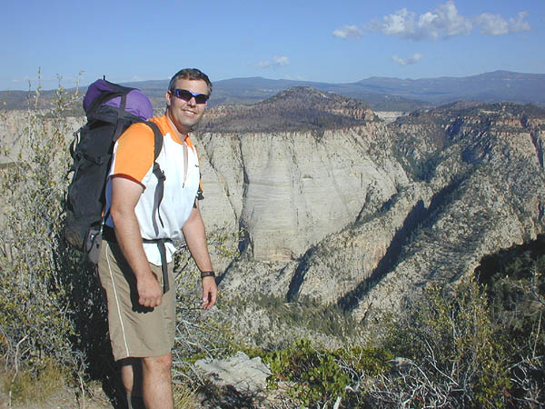
Brian Cabe, ready to get busy.

From the plateau-top east of Mystery Canyon, one can see the top third of the Mountain of Mystery, and the brushy, low-angle and promising North Ridge.
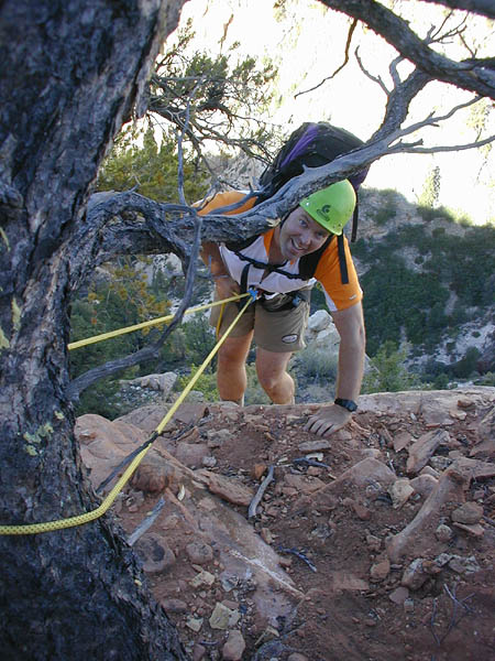
A short rappel off the plateau-top, and the fun begins.

Traversing a steep ridge on perfect rock (NOT).
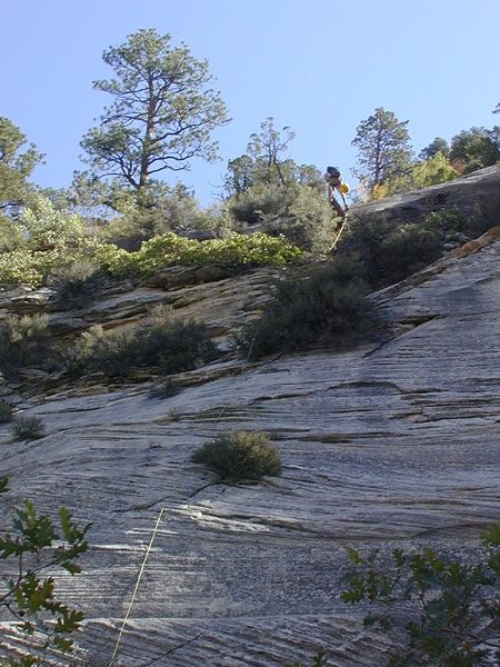
And another rappel down a slab gets us to non-technical terrain on the pass between Mystery Canyon and the Orderville drainages.

The Southeast ridge was our original target. Here, you can kinda see the rugged ridge leading up to within a few hundred feet of the top. Unfortunately, that couple hundred feet looked steep on really bad rock. So we snuck a little closer to give us a better view…

Looking down Mystery Canyon, the big South Face of MOM on the right.

Here’s looking up the slot section of Mystery Canyon.

And looking toward the head of Mystery Canyon.

And here’s a closeup of the slot section of Mystery Canyon.

We checked out the ridge, and getting up the Southeast ridge looked unlikely, so… We threw a sling around a tree and rapped 320′ into the head of the Orderville drainage closest to the East Face of the MOM.
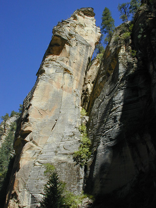
A lovely pinnacle, next to which we rapped, in the head of this canyon.
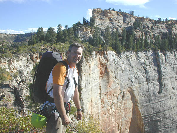
We hiked out the ramp to the North Face, and the fun began. Steep, loose, brushy, with stimulating dropoffs below – we thought it typical of Becky routes. No pictures – I was too scared! Here we are on the summit plateau, the actual summit block in the background.
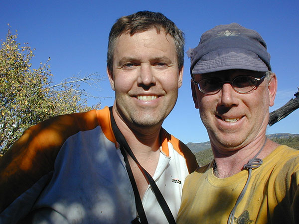
Summit shot. No evidence of previous ascents – a possible (though unlikely) First Ascent.
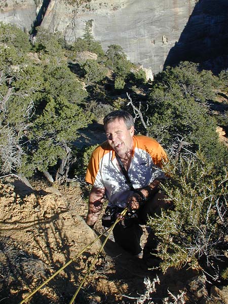
A short, awkward, brushy rap off the summit block.

Our desired path of descent was the canyon between the arms of MOM – Mountain of Mystery Canyon. Here’s the view from the top, about 6 pm, 2 hours before sunset and 5 minutes after we polished off the last of our water. Descending our ascent route did not seem advisable, and besides, we’re always up for a new canyon. Looks like we’ll be spending the night in that pocket forest down there.
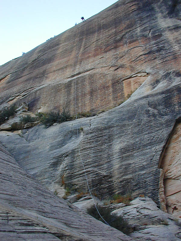
A 100 foot rappel put us to a tree on the rim. From there, a 300′ rappel brought us to the head of the canyon. Here’s Brian Cabe rapping, way up there.

Not a bad bivy. Just a little dry.
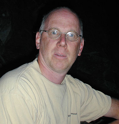
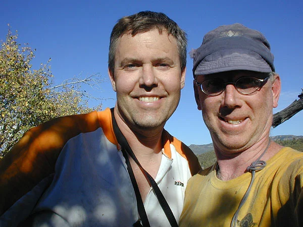
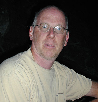
The seldom seen, looking a little shocked.
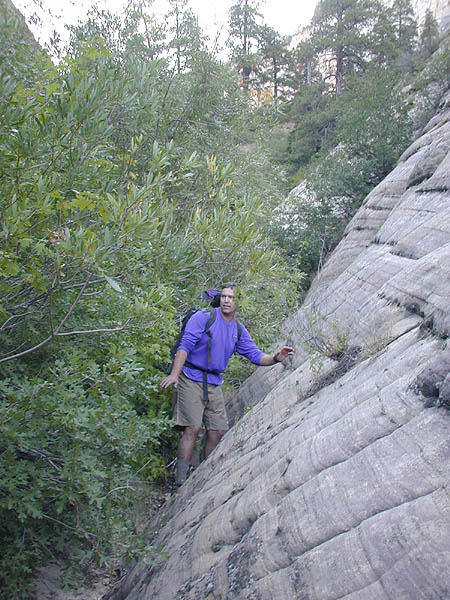
Morning finds us brushwhacking through the forested canyon. Brian’s starting to lose it, thinking he is Polynesian, and female.

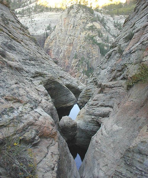
After being wide and brushy, the canyon briefly slotted up with these frog-infested potholes.

Brian, always the cactus-hugger, attempts to avoid disturbing the frogs by stretching across the potholes in a full body stem, to no avail.
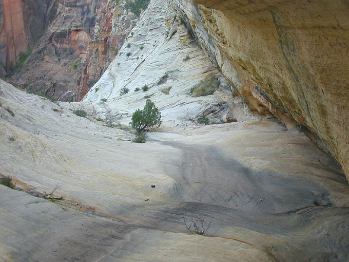
The canyon winds it’s way toward the Virgin, then ends, about 700 feet above the river.
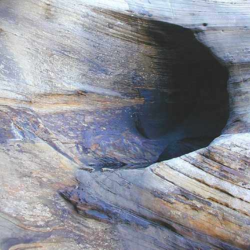
Some nice potholes, with interesting desert varnish.

A 100′ low angle rappel off a bush leads to the business, where the canyon ends at the top of a 700′ sheer wall dropping into the Virgin. The shrubbery was not convincing, so Brian insisted on pulling out the drill.

A 150′ rappel placed us on a small non-stance in the middle of a blankish wall. I got the privilege of hanging on the end of the rope and drilling anchors in especially soft, sugary sandstone. While pulling, the rope got stuck for a few minutes, pumping our adrenaline up purty good. But, a little skillful ropeplay and Brian got the strand to pull.

And the view down, still 600′ down to the river. The rap from here was 240′ to a fair size ledge.
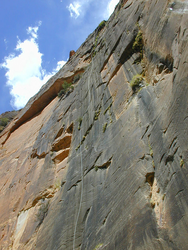
Then 310 feet straight down to the slabs next to the river. Brian rappelling.
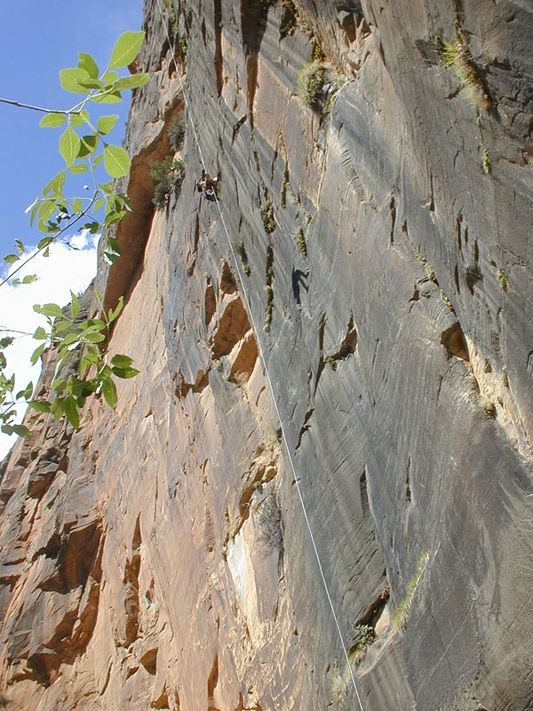
And here comes Brian.

And to the ground. Notice all that extra rope!
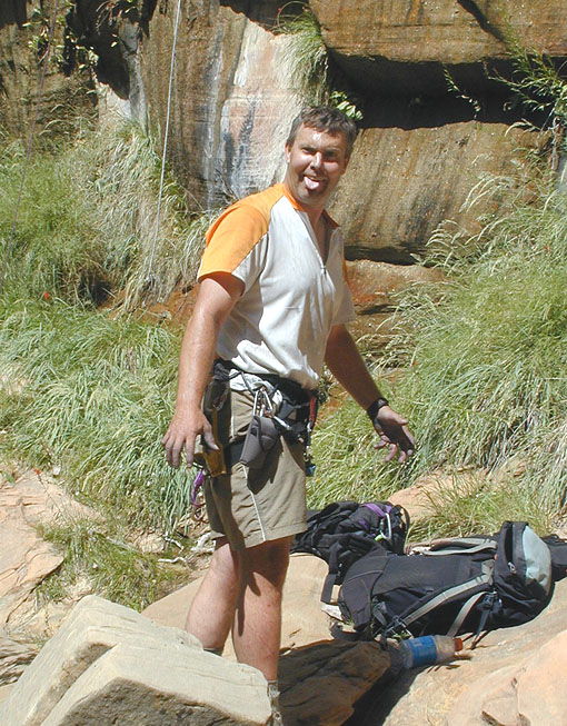
And, we are both very happy to be on the ground. Another 150′ low angle rap puts us on the edge of the river, just a bit up from Mystery Falls. Surprisingly, we could both still walk, which we soon did, to the shuttle.

Here’s a view of the wall we descended, from up-river.