Ski Tour of Kings Peak, UT

Kings Peak. Famous, popular, incredible? Kings is located in the Uintas, near the Wyoming border, and at 13,528 feet is the highest peak in Utah. As such, it draws incredible attention. The long tour and/or hike up King's Peak is a Utah classic - though I know not why. Let's see - in summer, it is 14.5 miles to the summit, gaining 4500 feet. In winter, road closure makes the route 17-1/2 miles. Did I mention 14.5 or 17.5 miles EACH WAY? The Uintas are a high plateau with picturesque limestone peaks rising above. Very dramatic. But, personally, I like ski tours with a little slope on them. The approach to Kings up the Henry Fork River gains 2600 feet in 13 miles, or a precipitous 200 feet per mile. The final climb of the peak gains 2000 feet in 4-1/2 miles.
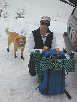
But, getting out with good friends is the point. Training for the upcoming trip to Europe would probably be a good idea too, though perhaps a week ahead of time is a bit too late. James’ wife had twins last year, so he’s been enjoying life as dad, rather than getting out. So why does he still aerobically kick my butt? Here we are packing up at the car – constant companion Wiley Coyote being very excited.

BD Skis – the old and the new. By driving up from Salt Lake in the morning, we hit the trail at the crack of 10 am. A good way to start an 35 mile tour.

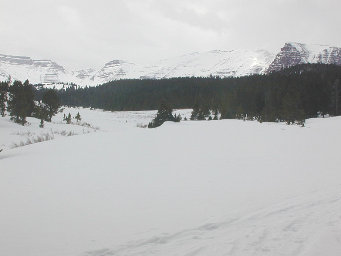
Great looking ski tour eh? Lots of nice, challenging terrain. We were a little unnerved by the difficulties we forsee skating, er, skiing down such percipitous terrain would present the next day.
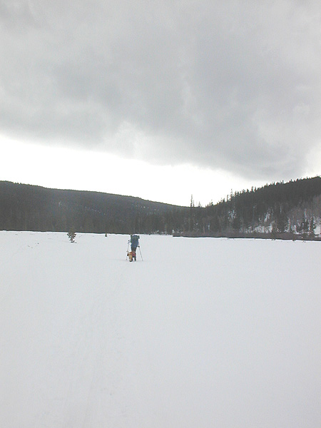
This was my usual view of Jim and Wiley for this trip. Doesn’t this look like fun?
We trundled onward. Snow conditions were less than ideal. On the trail, not so bad, but not very fast, especially at 9000 feet with overnight packs. Off the trail - a thin crust over 18" of big TG crystals. Good think we're not getting near any avalanche terrain.
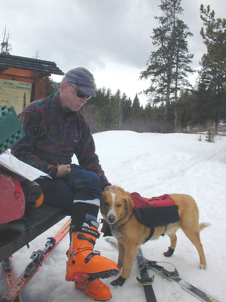
After 3 miles and 3 hours, we arrived at the campground marking the end of the summer road. Hmm. It was now one o’clock. At this rate, our desired 12 miles to camping spot would only require another 9 hours, or until 10 PM. Perfect! Here, Wiley and I review the map.

Ah. We only had to remove the skis at a couple of spots. So much fun.
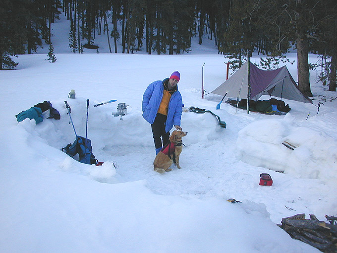
Finally, we make camp. No, we did not make 12 miles, more like 8, at most. We found a nice dugout area from a winter camper, and made our little camp, trying out the new BD Betamid. As soon as the sun went down, it got cold, of course.

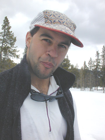
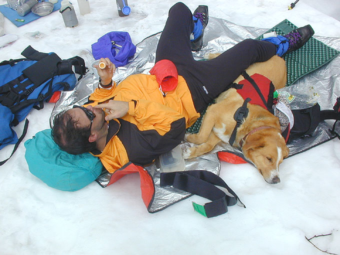
Jim was really into trying to get there, I was not. So we split up. Here’s what I’m looking like, being very excited.
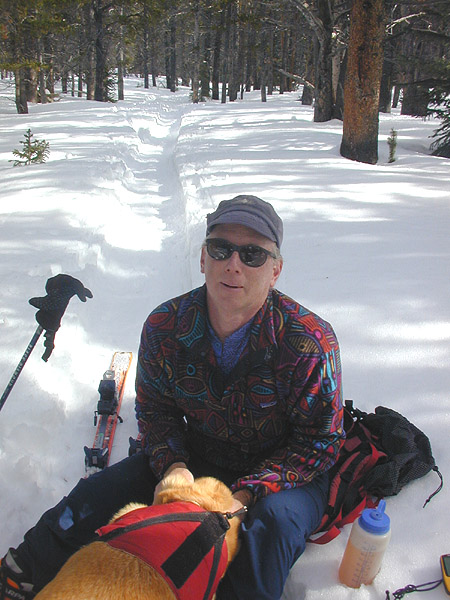
Jim valiantly skied onward - actually making it to the point where he could see gunsight pass. Moi, this is as far as I got - with a hazy view of the high peaks that surrounded us. I dashed back to camp and took a quick nap.

James and Wiley made it back after a bit, and take a quick snooze before we headed down. The ski down was surprisingly ... well, not really. It was a pain. Not steep enough down to ski so well, with enough little uphills to want skins, but not long enough to make it worth the trouble. We did get to do some fine skating out the road the last bit.
Any adventure that has the highest peak in a state automatically gets one star, right? Given that, in the unlikely event that one made it to the top, the Kings Peak via Henry's Fork gets a stunning 0 stars in my book. True, I hate to leave things undone, so I'll be back real soon.
Just kidding.