Hiking Coyote Gulch, Escalante National Monument

Time to visit a little bit of Heaven here on earth: Coyote Gulch, Escalante National Monument.
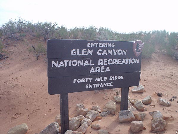
Here we are in the Escalante. Coyote Gulch is extremely popular, but actually, come to think of it, it never really felt crowded. Great thing about canyons, turn a couple of corners and you are there by yourself again.
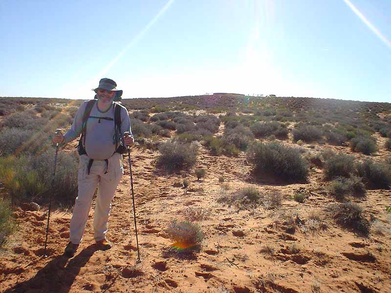
My companion for this trip was Jerry Goller, Chief Cook and Bottle Washer at Backpack Gear Test.
For this trip, we chose to start at the 40-mile-ridge watertank and head north into Hurricane Wash, then down Coyote to where Dominey Reservoir used to be, then out the dune and back to the watertank.
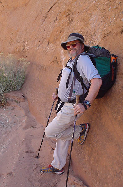
We cut across country into Hurricane Wash. Utah was experiencing unusually hot weather – and we got into the shade just as it was getting really hot.
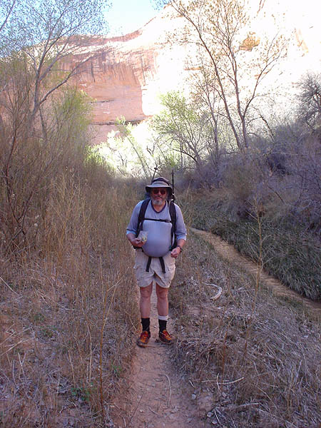
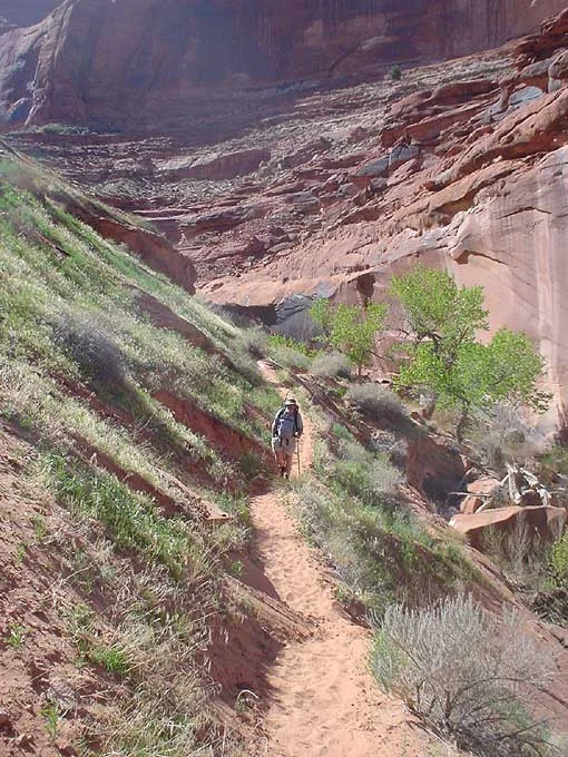
Trekking down Hurricane Wash.
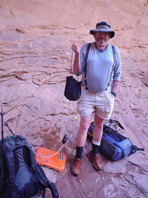
More gear to test. Jerry is testing a new gravity filter – he’s kind of a guru of lightweight hiking. Notice his rather petite ULA P-1 frameless pack, and my somewhat larger ULA P-2 pack in the background.
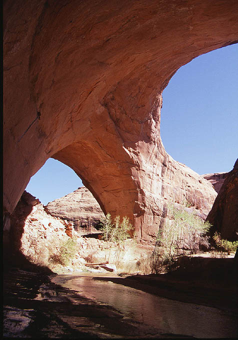
The famous Jacob Hamblin Arch, aka Lobo Arch.
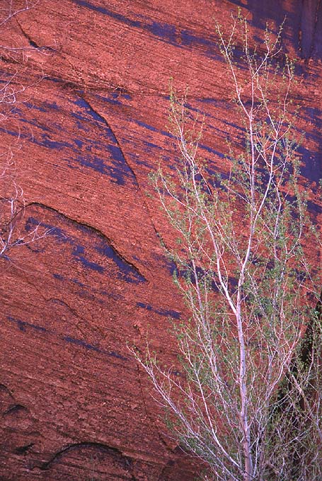
Some nice walls and trees.
The cottonwoods were just starting to bud out.
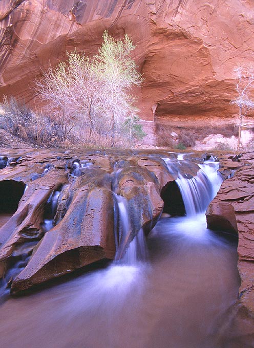
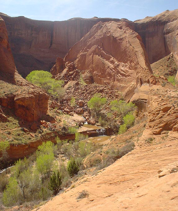
Some nice waterfalls down in there.
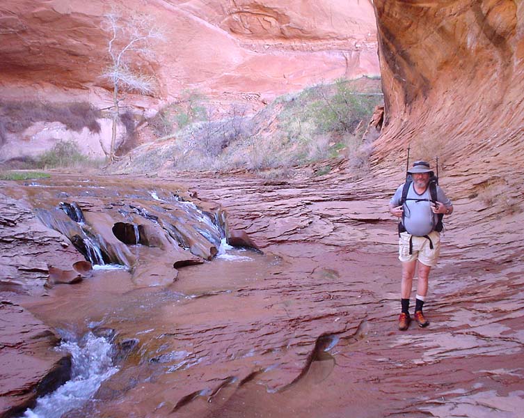
We enjoy a nice break at the waterfall, then move on.
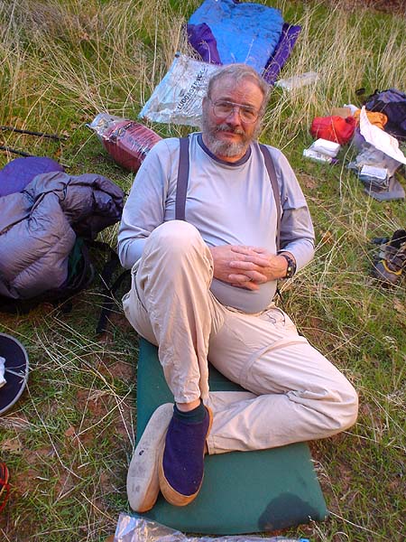
We bivied for the night near Coyote Natural Bridge. The rincon behind the Bridge is a real interesting meadow-like area. And a good place to hang out.
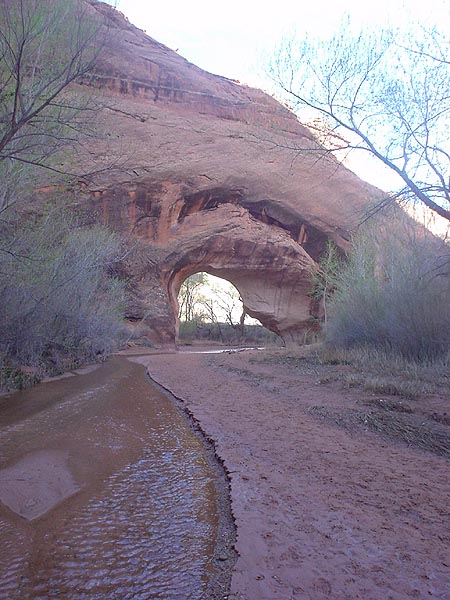
Coyote Natural Bridge.
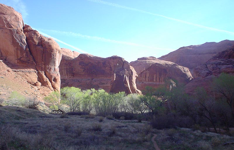
Further down, the canyon gets bigger, with a nice growth of cottonwoods in the bottom.
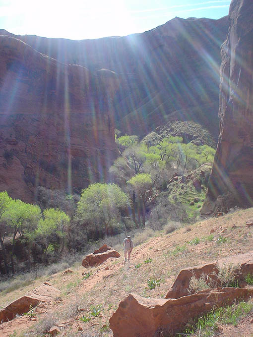
We took a little side hike into ‘Little Coyote’ canyon. A pretty good trail up a steep hill in the full sun implied a ruin or something – no such luck. It was far hotter out than it had any right to be.
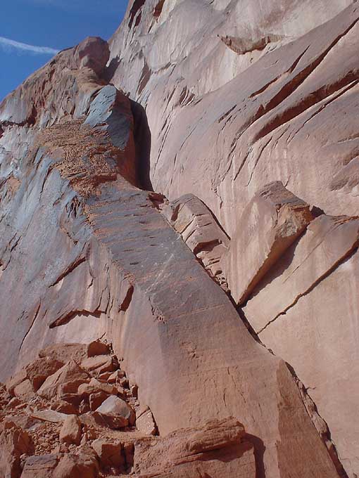
We DID find a nice moki-step exit up into the sky. A reliable source says it goes, but it was far too hot out to stay up there in the sun any longer than necessary.
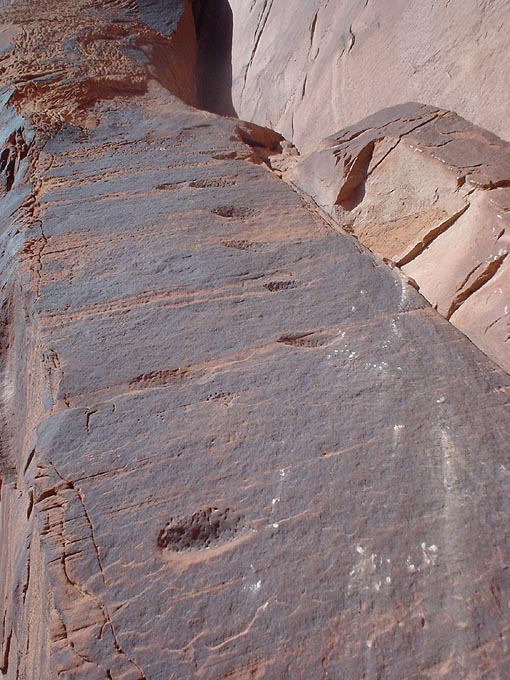
AND an up-close-n-personal on the actual Moki Steps.
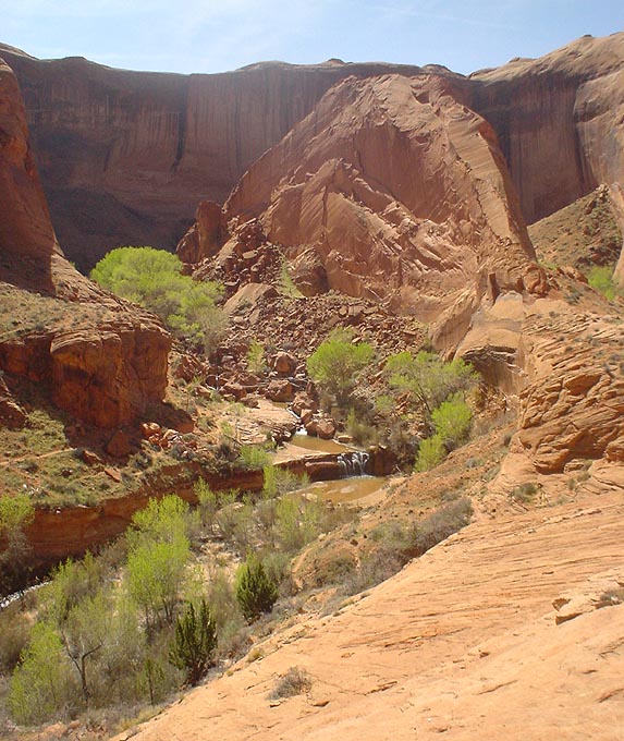
The canyon winds around some obstacles. Trees, waterfalls, that kind of stuff.
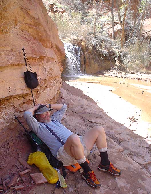
Jerry hurriedly preparing lunch, and running water through his filter. Man, the guy works like a dog!
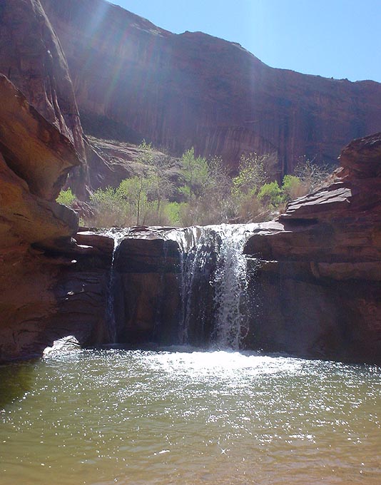
Waterfall, sunshine, canyon walls. Pretty good livin’ for middle of March.
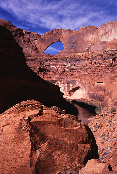
Stevens Arch and the Escalante River.
We wandered to the end, where Coyote hits the Escalante. Tucked outselves into a nicely shaded alcove for a bit, then wandered up the Escalante to where we could see Stevens Arch. Despite the heat, I HAD to climb up to the Arch. It was steep, hot and ... worth it.
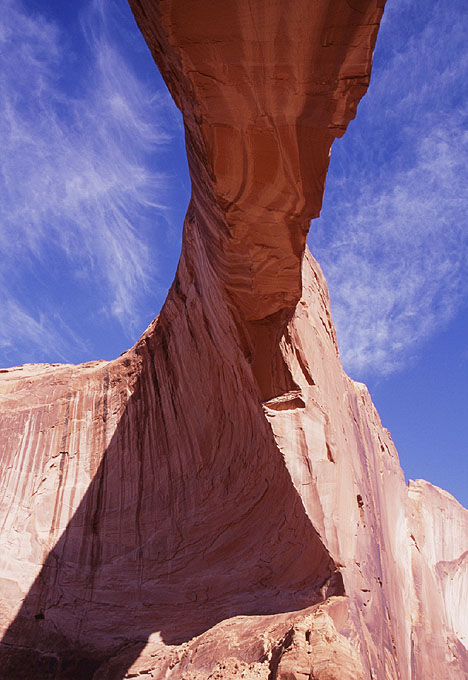
Stevens Arch, from Stevens Arch.
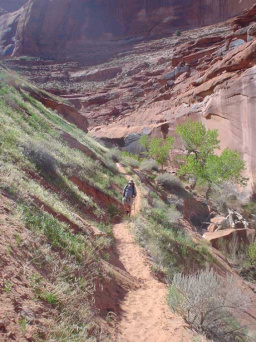
Nothing to do now, but get ourselves out of there. We got up nice and early and started the climb up the dune at first light. Route: steeply up loose sand to the Crack in the Wall, across the Slickrock Trail, then roadwalk back to the Forty Mile Ridge Tank. Ugh.
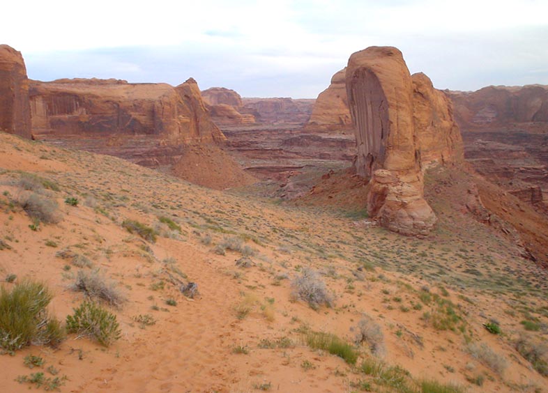
Jerry dogging it up the loose sand dune. (Coyote Gulch)
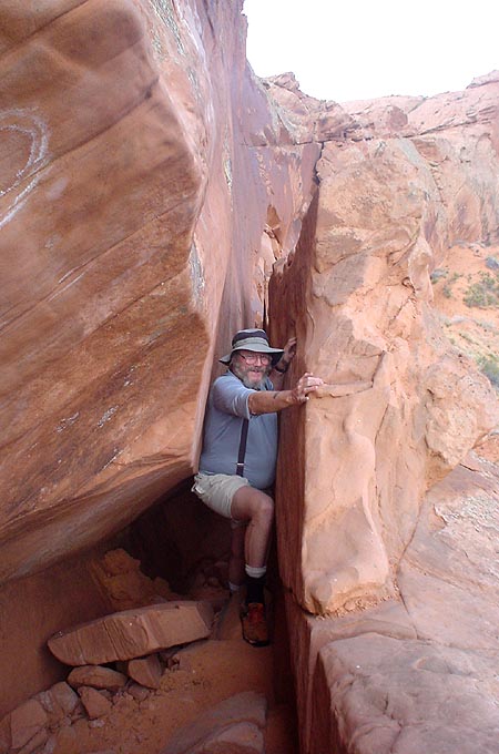
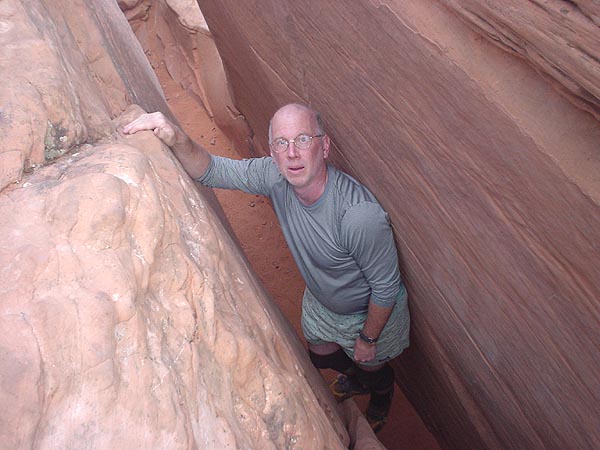
Jerry squeezing up the Crack in the Wall. (Coyote Gulch)
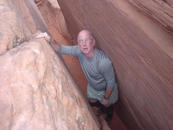
Me myself clamboring up out of the Crack in the Wall (Coyote Gulch)
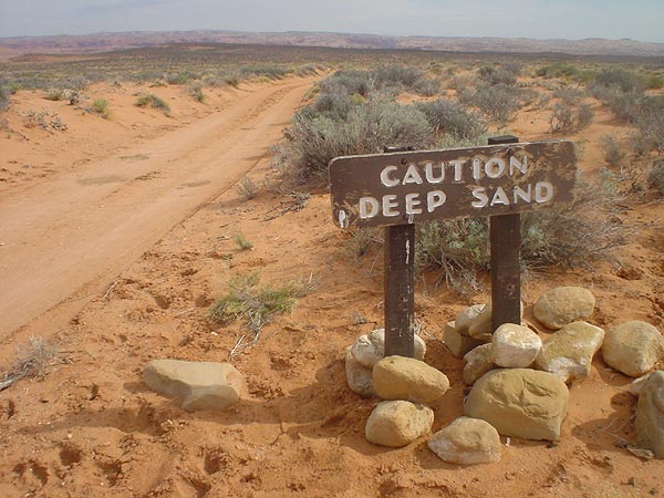
That says it - roadwalking is so MUCH fun. (Coyote Gulch)
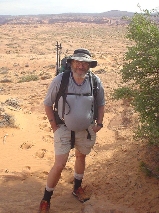
Jerry happy for a brief respite from the sun. Then we went home. (Coyote Gulch)