Hidden in Plain Sight.
Observation Point Canyon is a fun adventure, a canyon many people SEE (from the East Mesa Trail and Observation Point) but few have descended. It’s not destined to be a classic, and it faces south, so it IS oven-like in hot weather but, in cooler weather, a pretty nice canyon. It features several long rappels and extensive downclimbing in the middle section. The last 300 foot rappel beside the Weeping Rock wall takes special attention as well.
Like Goldilocks, it is important to get the entrance rap just right. Rappel too high in the canyon, and you will end up in a steep, brushy gully. Rappel too low, and the drop is longer than 300 feet. There is a good place to rappel just downcanyon of a shallow corner, which ends in a sparse clump of trees. Find this exact spot.
UTM WGS 84:
First Rappel Point: 328138mE 4127745mN


Canyon Profile
Logistics

RATINGS
4A/B III ★★★☆☆

TIME REQUIRED
6.5-9 Hours

PERMIT
YES

SEASON
Fall, Winter*, Spring*
(*no snow)

LONGEST RAPPEL
300 feet (92m)
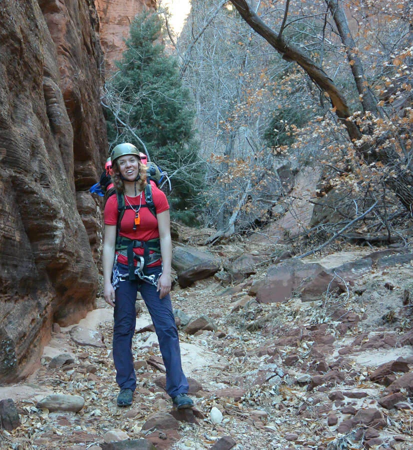
Equipment

ESSENTIALS
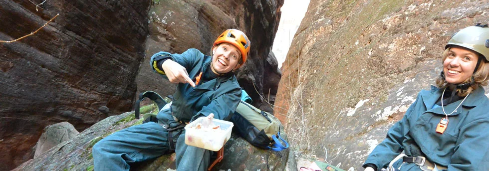
Helmets, rappelling gear, webbing and rapid links.

COLD WATER PROTECTION
There are two pools that can hold water, and might be swimmers.

DRINKING WATER
None, bring plenty of water.

ACCESS
Begins and ends at Weeping Rock Trailhead (one car), or you could hike the Observation Point Trail from the East Mesa Trailhead and exit at Weeping Rock (requires car spot or shuttle)
difficulties

FLASH FLOOD RISK
Moderate – The catchbasin is small.

SKILLS REQUIRED
Anchor building skills, competence on long rappels, extensive downclimbing.

ANCHORS
Mostly natural anchors, be prepared to build your own.
Approximate Time Table
Approach (Weeping Rock): 2 hours
Alt Approach East Mesa: 1 hour
In the canyon: R1 to suit-up spot: 3 hours
Suit-up Spot to End: 2 hours
Getting there
With one car
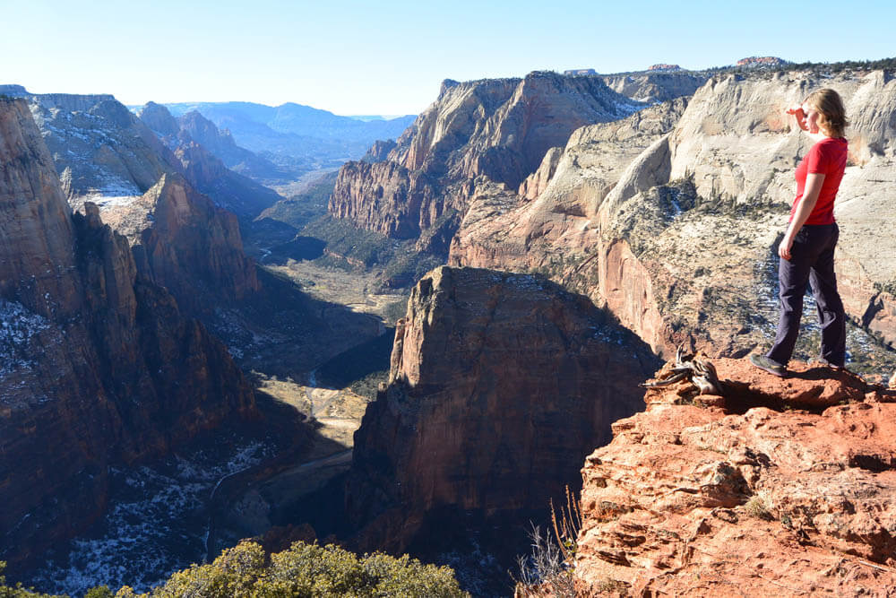
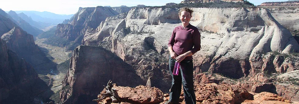
From Weeping Rock, hike up the Observation Point Trail; 3.1 miles long with 2,100 feet of elevation gain. Once at the Point, check out the canyon to the east and south, this is Observation Point Canyon.
Alternative
You can evade the elevation gain of the Observation Point Trail by parking or shuttling to the East Mesa trailhead on Zion Ponderosa Ranch and hiking in on the East Mesa Trail (3.1 miles, 300 feet gain).
The Business
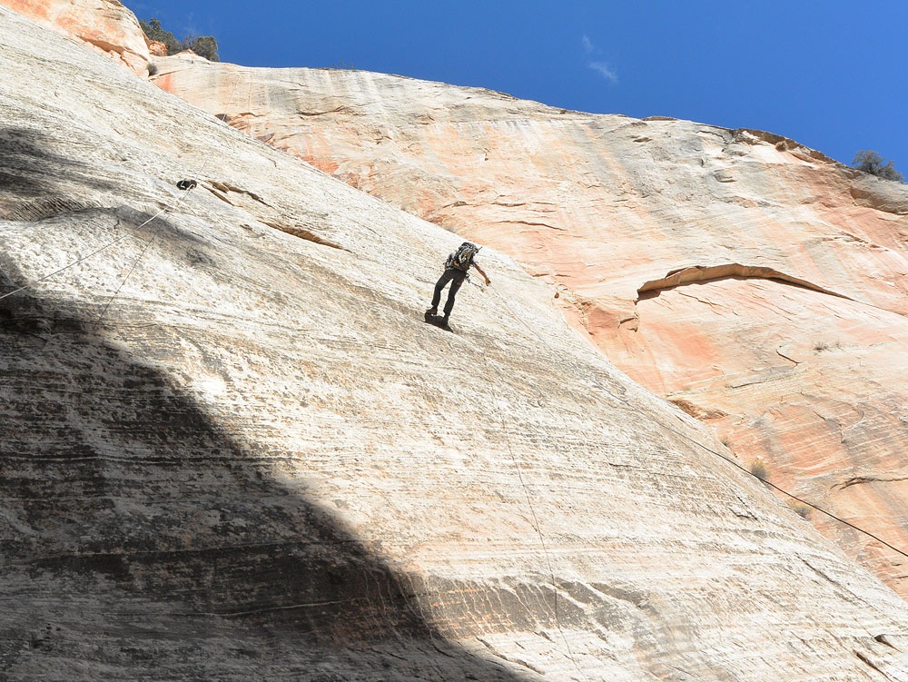
From Observation Point, backtrack along the trail to the sharp notch where the very head of the canyon is closest to the trail. Continue on the trail another 100 feet, then cut over to the rim. The watercourse itself could be descended but looks very brushy. Select a tree on the rim that offers a clean rappel down steep rock and into a grove of trees. Make sure your rope reaches the ground.
R1: 250 feet (83m) to a grove of trees.
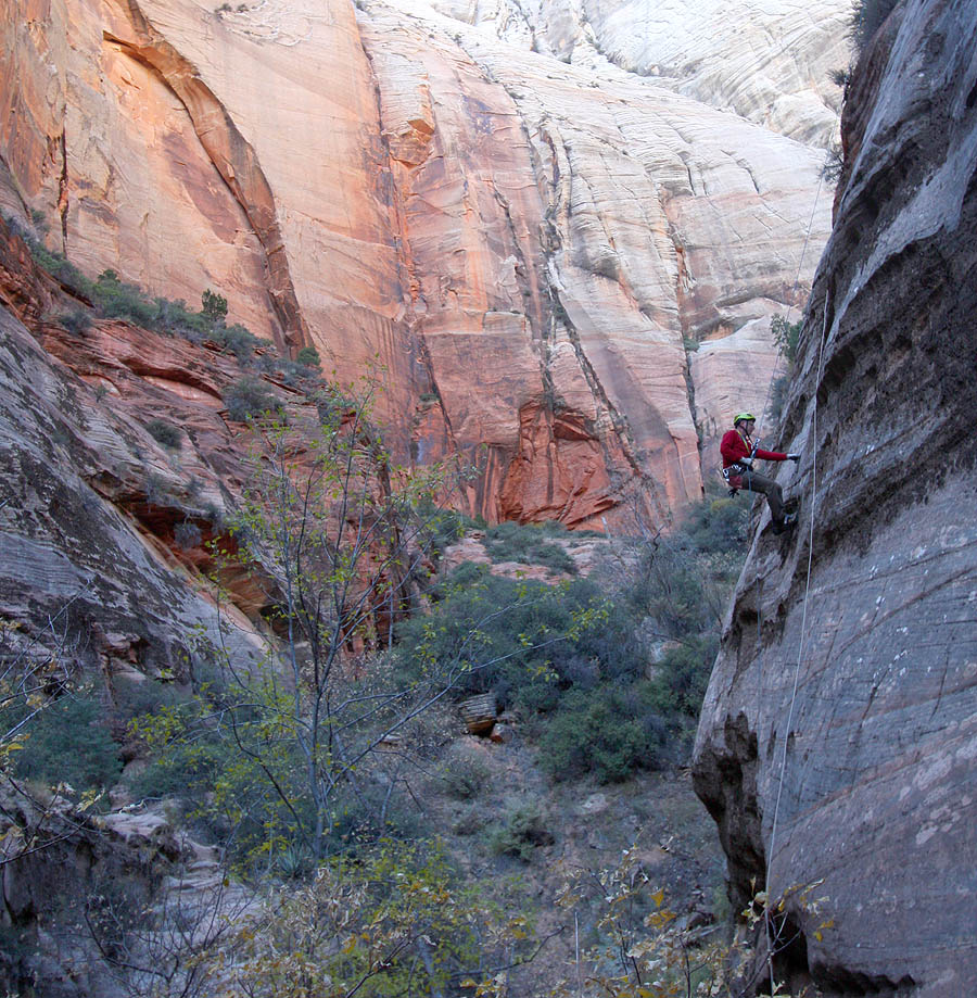
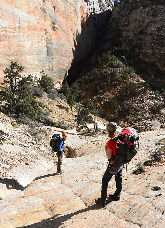
Hike down a broad, rough gully to slickrock. Follow the low-angle slickrock to where it steepens. Cut right, then downclimb steeper rock to a series of ledges. Follow the ledges back left, then all the way left, until you can downclimb easily to the next level. Follow the watercourse down 100 feet. As it starts to drop off steeply, traverse right to lower angle slabs past a ridge, then down to the edge. Select a sturdy bush with a clean line of pull, as low as possible.
R2: 260 feet (86m) to the canyon floor. You might rappel past an old RT (Royce Trappier) bolt, 20 feet short of the canyon floor (bad day out for RT).
Rig carefully! The many plates and loose rock make rope retrieval a bit tricky.
Continue downcanyon through trees and brush. The canyon then slots up 100 feet from the end.
R3: Short rap from a chockstone.
R4: Rap into a slot. Walk along the slot and continue the rappel into a keeper pothole. The keeper can be avoided with some fancy rappelling skills.
Downclimb into another pothole (waist deep?).
R5: 120 foot (40m) rappel from bolts.
R6: 80 foot (26m) rappel down to an exposed ledge, big enough for four people.
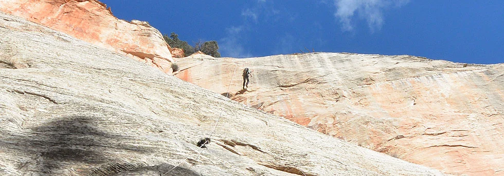
R7: 300 feet (92m) to the ground. Be careful throwing the rope - there is a tree 30 feet from the bottom that can make things difficult.

The Exit
Carefully climb up to the Weeping Rock observation platform. Follow the trail to the Weeping Rock Trailhead. Do NOT descend through the riparian zone.
Trip Reports
Maps
Click for higher resolution